Platform Features
Please note that this page is currently being updated as of 23rd July.
All features and statistics are available for at the individual address level, up to postcodes, villages, towns, cities, counties, police forces, and uk regions.
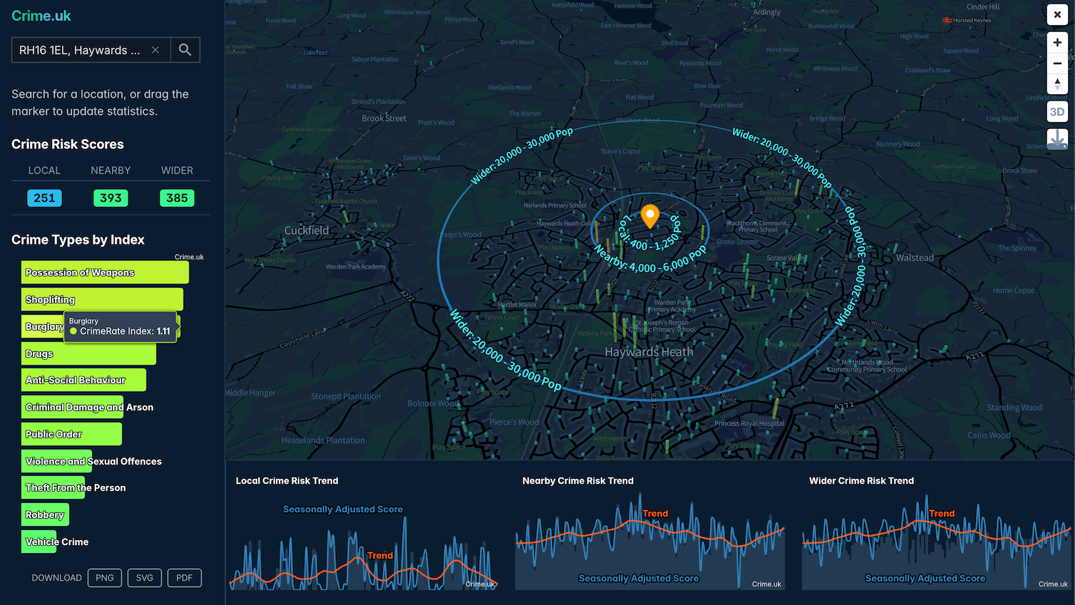
Comprehensive location crime data dashboards that including interactive hot spot analysis maps, and support addresses and postcodes:
Advanced crime maps with crime rate indexes (1.0 representing the national average, 2.0 double, 0.5 half), crime risk scores, and trend charts that all update in real-time as you interrogate the map
Project management for locations that make it easy to save map locations and recall them later, or get a high-level view of crime risk scores across a number of locations, which can all be of different types (e.g. towns, addresses, and police forces).
Unlimited PDF reports with professional designs that you can share as part of your work and to gather thoughts and opinions.
Note project management and unlimited PDF report tools are only included in the "complete" subscription level.